SATELLITE SERVICES
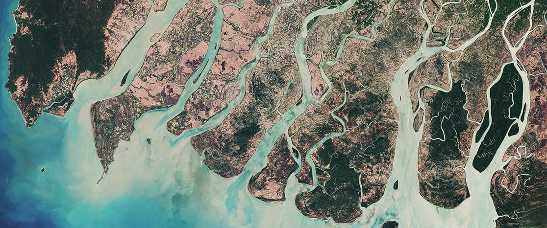
In a world where technology and innovation are constantly evolving, Porche Aerial stands at the forefront of cutting-edge solutions that redefine the way we view and understand our clients’ needs. Today, we are proud to introduce our latest innovation – Satellite Imaging, a revolutionary service that unlocks the unparalleled capabilities of low-earth orbit satellites to capture your land, project, or more, offering insights and imagery like never before.
At Porche Aerial, we recognize that some locations, projects, or events pose unique challenges for drones/unmanned technologies. In cases where site accessibility is limited or the scale of the area exceeds the capabilities of drones, our Satellite Imaging service steps in as a game-changing solution. With the power of low-earth orbit satellites, we can capture precise and high-resolution imagery that transcends the limitations of traditional aerial photography and terrestrial observation.
Porche Aerial's Satellite Imaging Services offers a host of advanced features, making it a game-changer in the field of aerial imagery for all clients large and small. The key highlights of this remarkable service include:. Contact us today for a quote.
WHY SATELLITEs:
Unparalleled Access to High-Resolution Satellite Imagery: Clients can tap into a vast repository of high-resolution satellite imagery collected over years, spanning various geographical regions. This wealth of data offers valuable insights for a wide range of applications, from agriculture and environmental monitoring to urban planning and disaster response.
On-Demand Satellite Tasking: Porche Aerial's service allows clients to task satellites in real-time. This means they can capture precise imagery of specific locations and events as they unfold, providing an invaluable resource for decision-making, event monitoring, and critical analysis.
Customizable Data Packages: Clients can tailor their data packages to suit their specific needs. Whether it's a one-time request or a recurring subscription, Porche Aerial accommodates a wide range of use cases and budgets.
Enhanced Data Analytics: Porche Aerial's Satellite Imaging Services integrates advanced data analytics tools, enabling clients to extract meaningful insights from the imagery. This empowers businesses, researchers, and organizations with the ability to make informed decisions and better understand the world from above.