
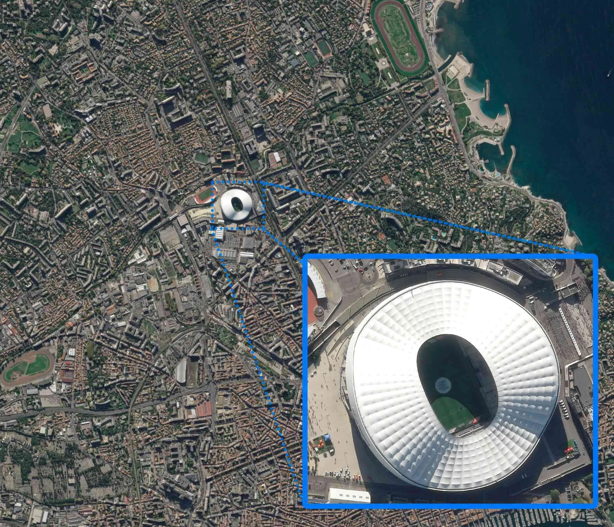
Satellite Imaging
DATA-DEPENDENT INDUSTRIES:
Insurance & Risk Assessment
Transportation & Logistics
Environmental Monitoring
Oil & Gas / Utilities & Energy
Agriculture & Forestry
Construction / Development
Government & Urban Planning
Maritime & Coastal Management
Defense & Intelligence
Real Estate & Land Development
Disaster Response & Recovery
Water Resources Management

Intelligence from Orbit

Yes, we capture real images from space. This gives your team the power to capture what matters, anywhere on Earth.
Porche Aerial offers two powerful ways to access satellite imagery: direct tasking and archive retrieval. With tasking, we can schedule a satellite to capture a new, high-resolution image of your chosen location within a specific date range.
Need historical context? We offer access to a global archive of high-resolution satellite imagery, making it easy to review past conditions, analyze trends, and monitor long-term changes across any location. Archived data is a powerful tool for planning, validation, and uncovering patterns hidden in time.
Whether you're managing infrastructure, monitoring land, or responding to events, Porche Aerial delivers space-based intelligence built for real-world decisions.
EYES IN THE SKY.
ANSWERS ON
THE GROUND.
Satellite imagery empowers our clients to make fast, informed decisions with precision data from above. Whether you're monitoring the progress of a construction site, assessing flood impacts after a storm, or tracking shifts in land use over time, we have the tools to see the full picture. Our satellite solutions deliver clarity in the moments that matter — helping industries stay ahead, mitigate risk, and operate with confidence across remote or hard-to-reach areas.
Monitor construction progress and infrastructure development
Inspect pipelines, utility corridors, and energy sites from above
Compare before-and-after imagery following major storms or disasters
Evaluate damage from hurricanes, floods, fires, and other events
Track environmental change, land development, and deforestation
Document insurance claims and verify asset conditions with timestamped imagery
Keep eyes on remote or hard-to-access locations without setting foot on site
Analyze storm surge impact and long-term coastal erosion


10,000 acre (4,000 ha) Environmental Dredge
900 acre (365 ha) Industrial Lay-down Yard / Asset Logistics


Satellite Deliverables
-
![True Color Satellite Image]()
True Color GeoTIFF
A georeferenced image file that aligns satellite imagery with real-world coordinates. Ideal for use in GIS software and mapping applications. (tiff/png/jpg)
-
![High-Precision Elevation Model (0.5m)]()
High-Precision Elevation
Accurate 3D elevation data derived from satellite imagery at up to 0.5-meter resolution. Includes both surface and terrain models, ideal for mapping, simulation, and smart city planning. (DEM / DemTIFF)
-
![15cm Enhanced Optical]()
15cm Enhanced Optical
Ultra high-resolution optical imagery enhanced to 15 cm (from original 30 cm captures). Includes RGB and multispectral bands for detailed visualization across defense, urban planning, crisis response, and environmental use cases.
-
![32-band Hyperspectral]()
32-band Hyperspectral
Access the highest commercially available hyperspectral satellite data with up to 32 bands. Perfect for detailed analysis in agriculture, mineral exploration, environmental monitoring, and advanced intelligence applications.
-
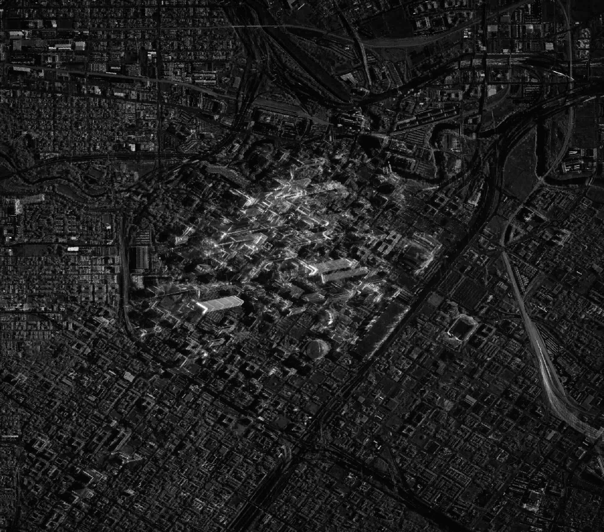
![SAR Radar Imaging]()
SAR Radar Imaging
High-res synthetic aperture radar (SAR) imagery capable of detecting fine details. Ideal for intelligence, infrastructure monitoring, and environmental analysis, with reliable performance in any weather or lighting condition.


Two Tools.
One Mission.
Total Clarity.
Drones and satellites serve different purposes — and when used together, they unlock a complete view of your project, no matter how big or remote.
Drones are unbeatable for low-altitude detail, close-range inspections, and hyper-local documentation. But they’re limited by airspace restrictions, battery life, and physical access. That’s where satellites come in.
Satellites can capture vast areas in a single pass, monitor hard-to-reach sites, and deliver global coverage with incredible frequency. With the ability to task new captures or access decades of archived imagery, satellites provide strategic insight you can’t get from the ground.
At Porche Aerial, we combine both perspectives. We help you choose the right tool for the job — whether it’s a drone flight for centimeter-level accuracy or satellite tasking to capture a region the size of a small country.
Ready to see how it all fits together? Let’s talk about your next project.
VIDEO: SATELLITE TASKING
Watch the video below to learn more about Satellite Tasking + Archives.