
›
0
Skip to Content
Porche Aerial
Porche Aerial
Home
Industrial
Gas Detection
LiDAR
Mapping
Thermal
Satellite
Timelapse
Contact
Flight Crew
Command Center
Aerial Gallery
Video Showcase
FAA Part 108
Our Story
FAQ
Porche Aerial
Porche Aerial
Home
Industrial
Gas Detection
LiDAR
Mapping
Thermal
Satellite
Timelapse
Contact
Flight Crew
Command Center
Aerial Gallery
Video Showcase
FAA Part 108
Our Story
FAQ
Home
Industrial
Gas Detection
LiDAR
Mapping
Thermal
Satellite
Timelapse
Contact
Folder: Ops
Back
Flight Crew
Command Center
Aerial Gallery
Video Showcase
FAA Part 108
Our Story
FAQ

LiDAR Services Launched

Jun 1
Written by Cody Porche

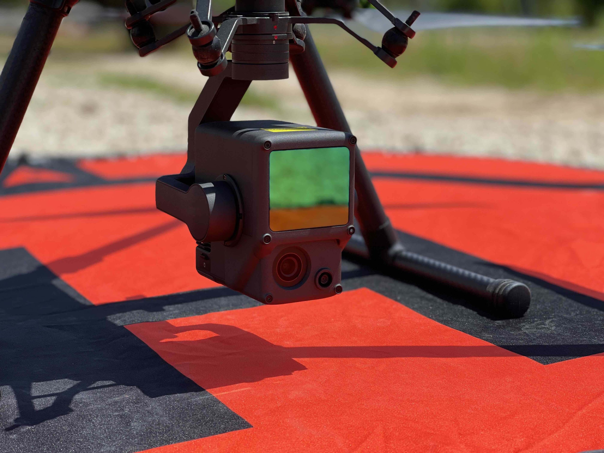
The addition of a LiDAR sensor expanded the company’s capabilities into 3D terrain modeling, volumetric analysis, and engineering-grade mapping. LiDAR became the third core service line.

Cody Porche https://www.porcheai.com
Previous
Previous

Official Rebrand and Final Logo

Next
Next

Inspection Capabilities Expanded

Click here for a quote

Operations

Services

GALLERY

Flight Crew

Our Story

Command Center

FAA Part 108

Contact Us

FAQ

Industrial

LiDAR

Mapping

Thermal

Satellite

Timelapse

Aerial Photos

Aerial Video